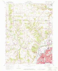
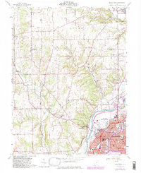
1959 Map of Middletown
USGS Topo · Published 1971About this map
The Great Miami River anchors the eastern edge of this landscape, winding past the industrial heart of Middletown and the distinct neighborhoods of Oakland, South Highlands, and Rose Lawn. The 1970 revisions, shown in purple, highlight the city's mid-century expansion and the development of the Municipal Airport (Hook Field). This urban growth contrasts with the agricultural character of the surrounding townships, where family-named roads like Moyer Road and Kalbfleisch Road connect rural centers like Jacksonburg and Germantown.
Find a feature on this map
62 named features on this map. Tap any name to fly to it.
Don’t see what you’re looking for? This feature index may not catch every label — zoom into the map to look around manually.
Map Details
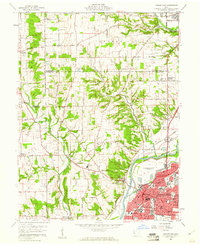
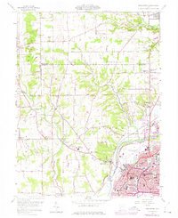
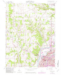
Editions of this 1959 Middletown Map
5 editions found
Other maps of this area

1904 · Mason
USGS Topo · 1:62,500

1906 · Mason
USGS Topo · 1:62,500

1908 · Miamisburg
USGS Topo · 1:62,500

1911 · Oxford
USGS Topo · 1:62,500

1915 · Hamilton
USGS Topo · 1:62,500

1917 · Hamilton
USGS Topo · 1:62,500

1951 · Franklin
USGS Topo · 1:24,000

1953 · Cincinnati
USGS Topo · 1:250,000

1955 · Monroe
USGS Topo · 1:24,000

1955 · Miamisburg
USGS Topo · 1:24,000