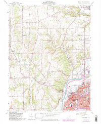
1959 Map of Middletown
USGS Topo · Published 1982About this map
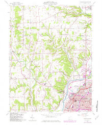
The Great Miami River valley defines the character of this mid-century landscape, serving as the industrial and transportation corridor for Middletown. The 1959 survey records the city's growth into established neighborhoods like Oakland and South Highlands, while the Baltimore and Ohio railroad and the Hook Field Municipal Airport anchor the region's connectivity. Outside the urban core, the terrain transitions into the agricultural reaches of German and Madison townships, where several landmark churches like Pleasant Ridge Ch and Elk Creek Ch serve rural communities. Local history is physically marked on the land by the Indian Mound near Thomas Road, suggesting much earlier inhabitants of the river valley. The map also details the extensive grounds of Woodside Cemetery and various civic spaces including Harlan Park and Madison High Sch.
Find a feature on this map
61 named features on this map. Tap any name to fly to it.
Don’t see what you’re looking for? This feature index may not catch every label — zoom into the map to look around manually.
Map Details
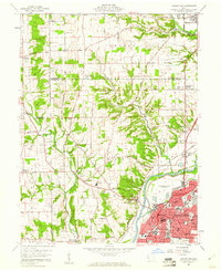
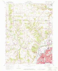
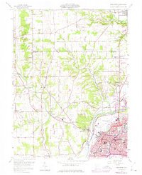
Editions of this 1959 Middletown Map
5 editions found
Other maps of this area

1904 · Mason
USGS Topo · 1:62,500

1906 · Mason
USGS Topo · 1:62,500

1908 · Miamisburg
USGS Topo · 1:62,500

1911 · Oxford
USGS Topo · 1:62,500

1915 · Hamilton
USGS Topo · 1:62,500

1917 · Hamilton
USGS Topo · 1:62,500

1951 · Franklin
USGS Topo · 1:24,000

1953 · Cincinnati
USGS Topo · 1:250,000

1955 · Monroe
USGS Topo · 1:24,000

1955 · Miamisburg
USGS Topo · 1:24,000