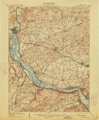
1908 Map of Middletown
USGS Topo · Published 1913About this map
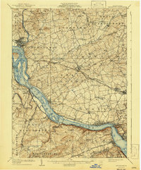
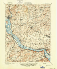
The Susquehanna River dominates this early twentieth-century landscape, serving as the definitive border between Dauphin, Lancaster, and York counties. This survey documents a critical period of industrial transition, capturing the remnants of the Pennsylvania Canal (Abandoned) tracing the eastern bank while the Pennsylvania RR and its Columbia Branch define the modern transport corridors. Major river features such as Threemile Island, Shelley Island, and Haldeman I are clearly delineated, as is the bustling activity at Middletown, Royalton, and Marietta.
Find a feature on this map
96 named features on this map. Tap any name to fly to it.
Don’t see what you’re looking for? This feature index may not catch every label — zoom into the map to look around manually.
Map Details
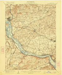
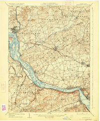
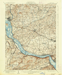
Editions of this 1908 Middletown Map
7 editions found
Other maps of this area

1891 · Lebanon
USGS Topo · 1:62,500

1892 · Hummelstown
USGS Topo · 1:62,500

1892 · Harrisburg
USGS Topo · 1:62,500

1893 · Lebanon
USGS Topo · 1:62,500

1899 · Lebanon
USGS Topo · 1:62,500

1899 · Harrisburg
USGS Topo · 1:62,500

1902 · Lancaster
USGS Topo · 1:62,500

1904 · Lancaster
USGS Topo · 1:62,500

1906 · New Cumberland
USGS Topo · 1:62,500

1908 · Middletown
USGS Topo · 1:62,500