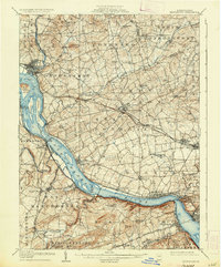
1908 Map of Middletown
USGS Topo · Published 1936About this map
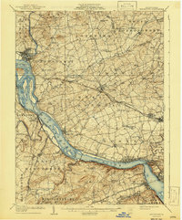
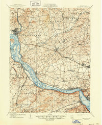
The Susquehanna River dominates this early 20th-century landscape, carving a broad path past major river towns and industrial landmarks. Along its eastern banks, the Pennsylvania Canal (Abandoned) serves as a silent reminder of a previous transportation era, while the active rail lines like the Pennsylvania RR and Northern Central RR underscore the region's industrial vigor. The map details an area of heavy transition where the river meets the mouth of Swatara Creek at Middletown.
Find a feature on this map
108 named features on this map. Tap any name to fly to it.
Don’t see what you’re looking for? This feature index may not catch every label — zoom into the map to look around manually.
Map Details
Editions of this 1908 Middletown Map
7 editions found
Other maps of this area

1891 · Lebanon
USGS Topo · 1:62,500

1892 · Hummelstown
USGS Topo · 1:62,500

1892 · Harrisburg
USGS Topo · 1:62,500

1893 · Lebanon
USGS Topo · 1:62,500

1899 · Lebanon
USGS Topo · 1:62,500

1899 · Harrisburg
USGS Topo · 1:62,500

1902 · Lancaster
USGS Topo · 1:62,500

1904 · Lancaster
USGS Topo · 1:62,500

1906 · New Cumberland
USGS Topo · 1:62,500

1908 · Middletown
USGS Topo · 1:62,500