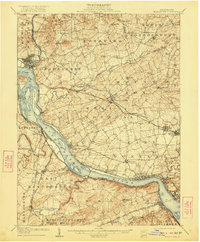
1908 Map of Middletown
USGS Topo · Published 1922About this map
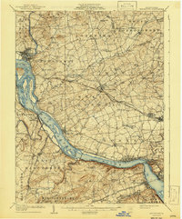
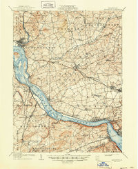
Middletown and Royalton sit at the confluence of Swatara Creek and the Susquehanna River, serving as a vital industrial and transit hub during this era. The landscape is defined by its early 20th-century transportation network, including the Pennsylvania RR and the Columbia Branch, which supported the agricultural and manufacturing towns of Elizabethtown and Mount Joy. Numerous islands dot the Susquehanna, such as Shelley Island and Threemile Island, while the surrounding countryside is organized into townships like Londonderry and West Donegal.
Find a feature on this map
94 named features on this map. Tap any name to fly to it.
Don’t see what you’re looking for? This feature index may not catch every label — zoom into the map to look around manually.
Map Details
Editions of this 1908 Middletown Map
7 editions found
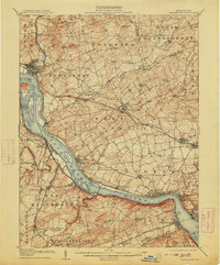
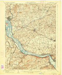
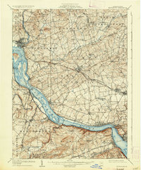
Other maps of this area

1891 · Lebanon
USGS Topo · 1:62,500

1892 · Hummelstown
USGS Topo · 1:62,500

1892 · Harrisburg
USGS Topo · 1:62,500

1893 · Lebanon
USGS Topo · 1:62,500

1899 · Lebanon
USGS Topo · 1:62,500

1899 · Harrisburg
USGS Topo · 1:62,500

1902 · Lancaster
USGS Topo · 1:62,500

1904 · Lancaster
USGS Topo · 1:62,500

1906 · New Cumberland
USGS Topo · 1:62,500

1908 · Middletown
USGS Topo · 1:62,500