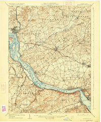
1908 Map of Middletown
USGS Topo · Published 1925About this map
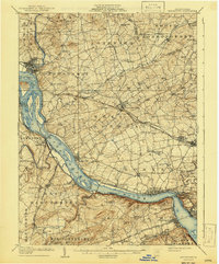
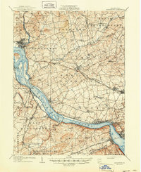
The Susquehanna River dominates this landscape at the junction of Dauphin, Lancaster, and York counties during the early twentieth century. This survey documents a critical period of industrial transition, showing the Pennsylvania RR and the Philadelphia Division lines running alongside the Pennsylvania Canal (Abandoned), a clear indicator of how rail superseded water transport in this corridor. Large river features like Threemile Island, Shelley Island, and Haldeman I are clearly charted, while the surrounding upland is densely dotted with signs of established rural life. Numerous localized landmarks such as the Hoffer Church, Ginders School, and Bachmanville School reflect a settled agricultural society. Larger hubs like Middletown, Elizabethtown, and Mount Joy appear as significant centers of activity, while the river banks are marked by smaller industrial and transit points like Yorkhaven, Bainbridge, and Billmeyer.
Find a feature on this map
91 named features on this map. Tap any name to fly to it.
Don’t see what you’re looking for? This feature index may not catch every label — zoom into the map to look around manually.
Map Details
Editions of this 1908 Middletown Map
7 editions found
Other maps of this area

1891 · Lebanon
USGS Topo · 1:62,500

1892 · Hummelstown
USGS Topo · 1:62,500

1892 · Harrisburg
USGS Topo · 1:62,500

1893 · Lebanon
USGS Topo · 1:62,500

1899 · Lebanon
USGS Topo · 1:62,500

1899 · Harrisburg
USGS Topo · 1:62,500

1902 · Lancaster
USGS Topo · 1:62,500

1904 · Lancaster
USGS Topo · 1:62,500

1906 · New Cumberland
USGS Topo · 1:62,500

1908 · Middletown
USGS Topo · 1:62,500