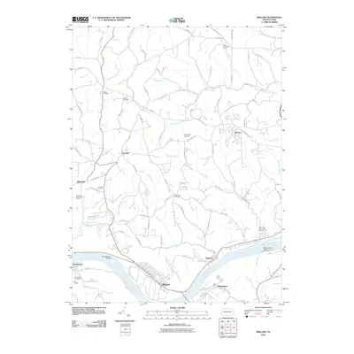
2010 Map of Midland
USGS Topo · Published 2010About this map
Midland and Industry dominate the northern bank of the Ohio River in this Beaver County study, showing the heavy industrial and transport footprint that defines the river valley. The landscape transitions from the dense infrastructure near Montgomery Dam to the agricultural and residential highlands to the north. These uplands are home to a network of local history markers, including Salem Cemetery, Glass Cemetery, and Saint Paul Cemetery, many situated along rural routes like Tuscarawas Rd and Engle Rd. Smaller settlements like Fairview and Dawson are surrounded by a complex system of drainage, with Wolf Run, Sixmile Run, and McElroy Run carving through the terrain. The presence of Sainovich Airport and several golf courses, such as Rolling Acres Golf Course, highlights the modern land use patterns alongside traditional riverfront hubs like Georgetown and Shippingport.
Find a feature on this map
93 named features on this map. Tap any name to fly to it.
Don’t see what you’re looking for? This feature index may not catch every label — zoom into the map to look around manually.
Map Details
Editions of this 2010 Midland Map
This is the sole edition of this map. No revisions or reprints were ever made.
Other maps of this area

1901 · Beaver
USGS Topo · 1:62,500

1902 · New Castle
USGS Topo · 1:62,500

1904 · Newcastle
USGS Topo · 1:62,500

1904 · Wellsville
USGS Topo · 1:62,500

1904 · Beaver
USGS Topo · 1:62,500

1907 · Columbiana
USGS Topo · 1:62,500

1909 · Columbiana
USGS Topo · 1:62,500

1937 · Wellsville
USGS Topo · 1:62,500

1944 · Wellsville
USGS Topo · 1:62,500

1951 · Canton
USGS Topo · 1:250,000