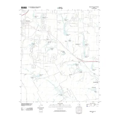
2010 Map of Midlothian
USGS Topo · Published 2010About this map
Waxahachie Creek and its many tributaries, including North Prong Creek and South Prong Creek, define the drainage of this Ellis County landscape. This 2010 survey illustrates a sophisticated network of water management, evidenced by nearly twenty Soil Conservation Service dams such as Soil Conservation Service Site 2a Dam and Soil Conservation Service Site 17 Dam. These structures support the agricultural operations between the growing centers of Midlothian and Waxahachie.
Find a feature on this map
76 named features on this map. Tap any name to fly to it.
Don’t see what you’re looking for? This feature index may not catch every label — zoom into the map to look around manually.
Map Details
Editions of this 2010 Midlothian Map
This is the sole edition of this map. No revisions or reprints were ever made.
Other maps of this area

1891 · Dallas
USGS Topo · 1:125,000

1891 · Cleburne
USGS Topo · 1:125,000

1893 · Dallas
USGS Topo · 1:125,000

1894 · Cleburne
USGS Topo · 1:125,000

1894 · Fort Worth
USGS Topo · 1:125,000

1954 · Dallas
USGS Topo · 1:250,000

1958 · Dallas
USGS Topo · 1:250,000

1959 · Lancaster
USGS Topo · 1:24,000

1959 · Cedar Hill
USGS Topo · 1:24,000

1959 · Britton
USGS Topo · 1:24,000