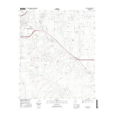
2016 Map of Midlothian
USGS Topo · Published 2016About this map
Midlothian and the nearby community of Sardis anchor this 2016 survey of northern Ellis County, where the sprawling suburban street networks meet the creek-fed ranchlands of central Texas. The landscape is defined by the winding course of Waxahachie Cr and its numerous tributaries, including N Prong Cr and S Prong Cr. Local heritage is preserved in several rural burial grounds such as Mount Zion Cem and Sardis Cem, while more modern infrastructure is represented by the Mid-Way Regional Airport. The map documents a distinct mix of established residential blocks, like those near Cemetery Rd, and large water features such as Hi-View Ranch Lake and Diamond J Ranch Lake Number 2. These landmarks illustrate the transition of the region from a purely agricultural area to a growing corridor between larger urban centers.
Find a feature on this map
152 named features on this map. Tap any name to fly to it.
Don’t see what you’re looking for? This feature index may not catch every label — zoom into the map to look around manually.
Map Details
Editions of this 2016 Midlothian Map
This is the sole edition of this map. No revisions or reprints were ever made.
Other maps of this area

1891 · Dallas
USGS Topo · 1:125,000

1891 · Cleburne
USGS Topo · 1:125,000

1893 · Dallas
USGS Topo · 1:125,000

1894 · Cleburne
USGS Topo · 1:125,000

1894 · Fort Worth
USGS Topo · 1:125,000

1954 · Dallas
USGS Topo · 1:250,000

1958 · Dallas
USGS Topo · 1:250,000

1959 · Lancaster
USGS Topo · 1:24,000

1959 · Cedar Hill
USGS Topo · 1:24,000

1959 · Britton
USGS Topo · 1:24,000