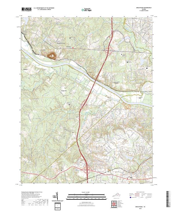
2022 Map of Midlothian
USGS Topo · Published 2022About this map
The James River serves as the central artery for this part of central Virginia, carving a path through a landscape where several county lines meet. The terrain is marked by traditional river-oriented settlements such as Boscobel and Vinita, while the southern reaches show the modern growth of James River Estates and residential development near Salisbury Lake. For genealogists and local historians, the area is exceptionally rich in burial grounds, ranging from small church-linked sites like the Bethel Baptist Church/Cem and Dover Church Cem to the larger Greenwood Memorial Gardens Cem.
Find a feature on this map
221 named features on this map. Tap any name to fly to it.
Don’t see what you’re looking for? This feature index may not catch every label — zoom into the map to look around manually.
Map Details
Editions of this 2022 Midlothian Map
This is the sole edition of this map. No revisions or reprints were ever made.
Other maps of this area

1890 · Goochland
USGS Topo · 1:125,000

1892 · Goochland
USGS Topo · 1:125,000

1897 · Amelia
USGS Topo · 1:125,000

1936 · Richmond West
USGS Topo · 1:24,000

1936 · Glen Allen
USGS Topo · 1:24,000

1941 · Glen Allen
USGS Topo · 1:31,680

1942 · Westhampton
USGS Topo · 1:31,680

1943 · Fine Creek Mills
USGS Topo · 1:31,680

1943 · Chesterfield
USGS Topo · 1:31,680

1943 · Perkinsville
USGS Topo · 1:31,680