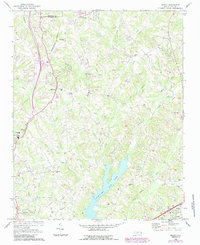
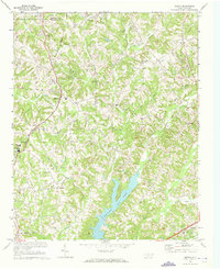
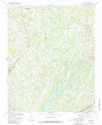
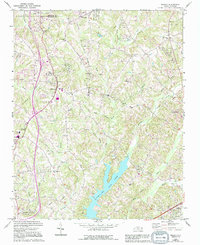
1969 Map of Midway
USGS Topo · Published 1987About this map
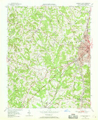
Midway and the surrounding rural communities of Gum Tree, Bethesda, and Pilot characterize this section of North Carolina during a period of suburban transition. The landscape is defined by the winding paths of Abbotts Creek and Rich Fork, which feed into the prominent Tom-A-Lex Lake. This reservoir serves as a central geographic anchor in a terrain marked by numerous family-named branches and small churches that have long anchored the local community.
Find a feature on this map
50 named features on this map. Tap any name to fly to it.
Don’t see what you’re looking for? This feature index may not catch every label — zoom into the map to look around manually.
Map Details
Editions of this 1969 Midway Map
4 editions found
Other maps of this area
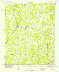
1949 · Eller
USGS Topo · 1:24,000
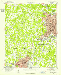
1949 · High Point West
USGS Topo · 1:24,000
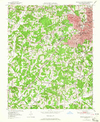
1950 · Winston-Salem West
USGS Topo · 1:24,000
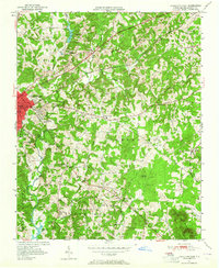
1950 · Lexington East
USGS Topo · 1:24,000

1950 · Winston-Salem East
USGS Topo · 1:24,000
1950 · Lexington West
USGS Topo · 1:24,000

1951 · Winston-Salem West
USGS Topo · 1:24,000

1951 · Winston-Salem East
USGS Topo · 1:24,000

1951 · Lexington East
USGS Topo · 1:24,000

1951 · Lexington West
USGS Topo · 1:24,000