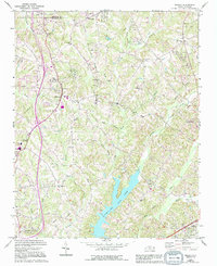
1969 Map of Midway
USGS Topo · Published 1994About this map
The rolling Piedmont landscape of Forsyth and Davidson Counties is defined by a dense network of tributaries feeding into the significant reservoir of Tom-A-Lex Lake. In the mid-1960s, this area north of Lexington was characterized by dispersed rural settlements and a strong presence of local congregations, including Brooks Temple, Faith Alliance Ch, and Old Saviours Ch. The settlement of Midway serves as a central point, anchored by the Midway Ch and nearby Hebron Cem.
Find a feature on this map
44 named features on this map. Tap any name to fly to it.
Don’t see what you’re looking for? This feature index may not catch every label — zoom into the map to look around manually.
Map Details
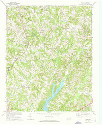
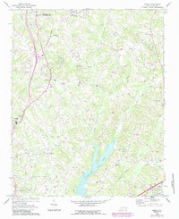
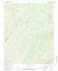
Editions of this 1969 Midway Map
4 editions found
Other maps of this area

1949 · Eller
USGS Topo · 1:24,000

1949 · High Point West
USGS Topo · 1:24,000

1950 · Winston-Salem West
USGS Topo · 1:24,000

1950 · Lexington East
USGS Topo · 1:24,000

1950 · Winston-Salem East
USGS Topo · 1:24,000

1950 · Lexington West
USGS Topo · 1:24,000

1951 · Winston-Salem West
USGS Topo · 1:24,000

1951 · Winston-Salem East
USGS Topo · 1:24,000

1951 · Lexington East
USGS Topo · 1:24,000

1951 · Lexington West
USGS Topo · 1:24,000