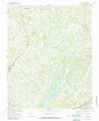
1969 Map of Midway
USGS Topo · Published 1987About this map
The Forsyth Co Davidson Co line bisects this 1960s landscape, revealing a transition from agricultural roots to growing residential nodes south of Winston-Salem. The settlement of Midway serves as a central hub, flanked by older community landmarks such as Hebron Ch and Saints Delite Ch. To the south, the recently constructed Tom-A-Lex Lake has altered the drainage of Abbotts Creek, introducing new recreational space at the Picnic Area near the Davidson county interior.
Find a feature on this map
44 named features on this map. Tap any name to fly to it.
Don’t see what you’re looking for? This feature index may not catch every label — zoom into the map to look around manually.
Map Details
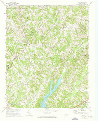
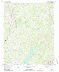
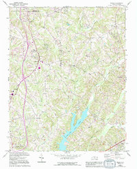
Editions of this 1969 Midway Map
4 editions found
Other maps of this area

1949 · Eller
USGS Topo · 1:24,000

1949 · High Point West
USGS Topo · 1:24,000

1950 · Winston-Salem West
USGS Topo · 1:24,000

1950 · Lexington East
USGS Topo · 1:24,000

1950 · Winston-Salem East
USGS Topo · 1:24,000

1950 · Lexington West
USGS Topo · 1:24,000

1951 · Winston-Salem West
USGS Topo · 1:24,000

1951 · Winston-Salem East
USGS Topo · 1:24,000

1951 · Lexington East
USGS Topo · 1:24,000

1951 · Lexington West
USGS Topo · 1:24,000