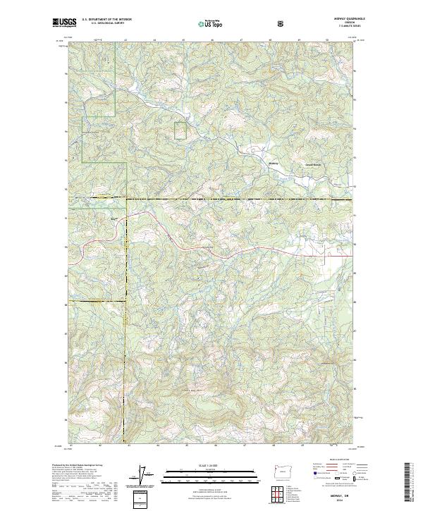
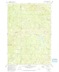
2024 Map of Midway
USGS Topo · Published 2024About this map
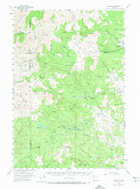
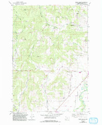
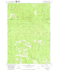
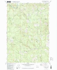
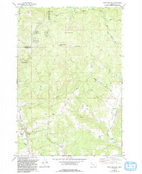
The Siuslaw National Forest encompasses the northern reaches of this coastal range landscape, where the headwaters of the South Yamhill River and Little Nestucca River begin their descent. Small rural settlements like Midway, Grand Ronde, and Boyer serve as the primary human touchpoints in an area defined by heavy timber and steep elevation changes. Local geography is marked by numerous named peaks including Saddle Bag Mtn, Murphy Hill, and Thomas Hill, which provided navigational landmarks for early settlers and foresters.
Find a feature on this map
50 named features on this map. Tap any name to fly to it.
Don’t see what you’re looking for? This feature index may not catch every label — zoom into the map to look around manually.
Map Details
Editions of this 2024 Midway Map
This is the sole edition of this map. No revisions or reprints were ever made.
Historical Maps of Midway Through Time
21 maps found

1924 Mc Minnville
Yamhill County, OR
1926 Mc Minnville
Yamhill County, OR
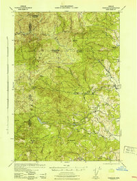
1942 Fairdale
Yamhill County, OR
1942 Spirit Mtn
Yamhill County, OR
1955 Fairdale
Yamhill County, OR
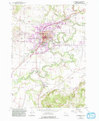
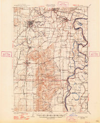
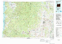
1957 Mc Minnville
Yamhill County, OR
1979 Fairdale
Yamhill County, OR
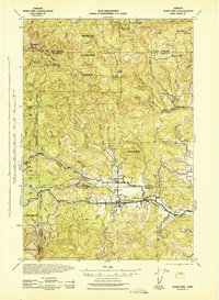
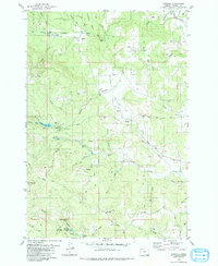
1979 Midway
Yamhill County, OR
1979 Muddy Valley
Yamhill County, OR
1979 Niagara Creek
Yamhill County, OR
1979 Springer Mtn
Yamhill County, OR
1979 Stony Mountain
Yamhill County, OR
1979 Trask Mtn
Yamhill County, OR
1980 Yamhill River
Yamhill County, OR
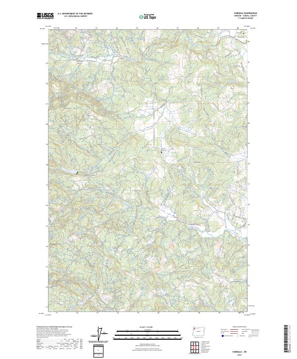
2023 Fairdale
Yamhill County, OR
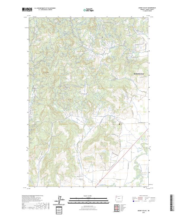
2023 Muddy Valley
Yamhill County, OR
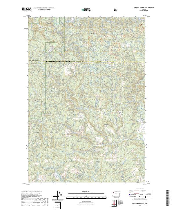
2023 Springer Mountain
Yamhill County, OR
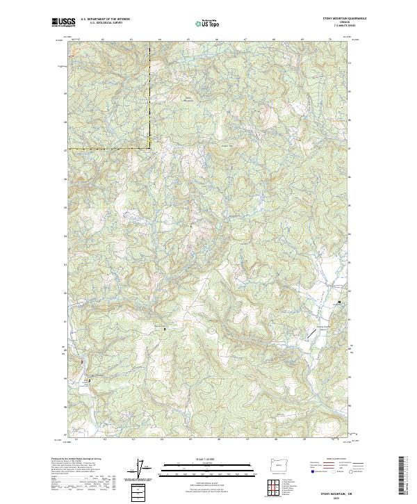
2023 Stony Mountain
Yamhill County, OR
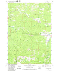
2024 Midway
Yamhill County, OR
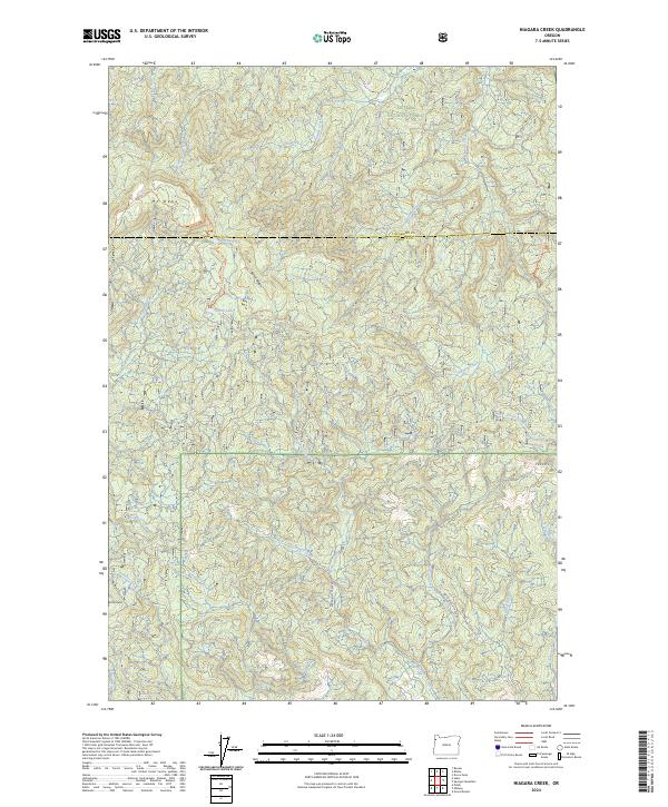
2024 Niagara Creek
Yamhill County, OR
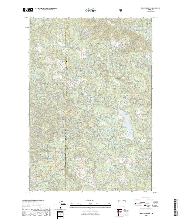
2024 Trask Mountain
Yamhill County, OR