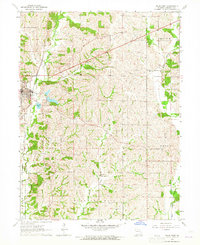
1964 Map of Milan East
USGS Topo · Published 1965About this map
Milan serves as the focal point for this Sullivan County survey, situated at the western edge where the Chicago Burlington And Quincy railroad line runs parallel to East Locust Creek. The landscape transition from the town center to the rural townships of Polk, Union, and Pleasant Hill is marked by a network of family-named cemeteries and small community landmarks. Notable rural sites include Sorrell and Mt Moriah Ch, the latter situated near the headwaters of Little Locust Creek. The map documents a shifting transportation landscape, specifically identifying an Old Railroad Grade that cuts across the northern terrain. Mid-century cultural life is reflected by the presence of a Drive-in Theater on the outskirts of Milan, while the drainage patterns of Yellow Creek and Paw Paw Creek dictate the agricultural layout of the eastern ridges.
Find a feature on this map
24 named features on this map. Tap any name to fly to it.
Don’t see what you’re looking for? This feature index may not catch every label — zoom into the map to look around manually.
Map Details
Editions of this 1964 Milan East Map
2 editions found
Other maps of this area

1912 · Green City
USGS Topo · 1:62,500

1914 · Green City
USGS Topo · 1:62,500

1954 · Centerville
USGS Topo · 1:250,000

1957 · Centerville
USGS Topo · 1:250,000

1958 · Centerville
USGS Topo · 1:250,000
1963 · Mystic
USGS Topo · 1:24,000
1963 · Winigan
USGS Topo · 1:24,000
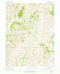
1964 · Milan SE
USGS Topo · 1:24,000
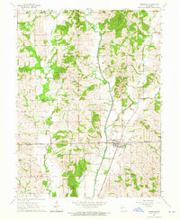
1964 · Browning
USGS Topo · 1:24,000

1964 · Milan West
USGS Topo · 1:24,000