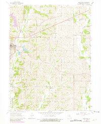
1964 Map of Milan East
USGS Topo · Published 1981About this map
Milan serves as the primary hub on the western edge of this Sullivan County landscape, where the Burlington Northern railroad corridor meets the town's expanding local infrastructure. The 1964 terrain reflects a transition in mid-century local culture, marked by the presence of a Drive-in Theater and a local Golf Course situated near the Sewage Disposal Pond. Moving eastward, the rural character is defined by the winding course of East Locust Creek and the township lines of Polk, Penn, and Union.
Find a feature on this map
25 named features on this map. Tap any name to fly to it.
Don’t see what you’re looking for? This feature index may not catch every label — zoom into the map to look around manually.
Map Details
Editions of this 1964 Milan East Map
2 editions found
Other maps of this area

1912 · Green City
USGS Topo · 1:62,500

1914 · Green City
USGS Topo · 1:62,500

1954 · Centerville
USGS Topo · 1:250,000

1957 · Centerville
USGS Topo · 1:250,000

1958 · Centerville
USGS Topo · 1:250,000
1963 · Mystic
USGS Topo · 1:24,000
1963 · Winigan
USGS Topo · 1:24,000
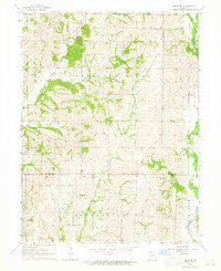
1964 · Milan SE
USGS Topo · 1:24,000
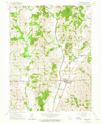
1964 · Browning
USGS Topo · 1:24,000

1964 · Milan West
USGS Topo · 1:24,000