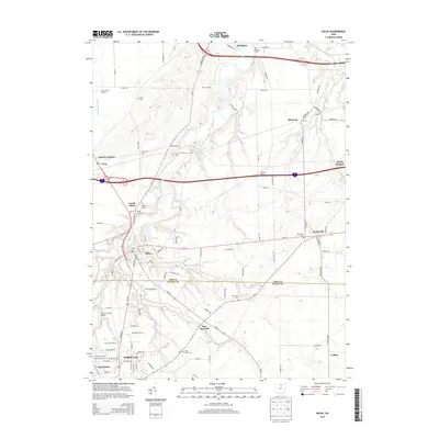
2013 Map of Milan
USGS Topo · Published 2013About this map
The Huron River carves a winding path through this North Central Ohio landscape, linking the historic village of Milan with the southern edge of Huron. This survey reflects the region's deep agricultural and early industrial roots, centered around the junction of Erie and Huron counties. Genealogists will find a high density of burial grounds throughout the area, including Milan Cem, Milan N Cem, and Saint Marys Cem near Norwalk. The map documents a transition from the compact settlement patterns of the 19th century to more modern residential developments like Key Estates. Small crossroads communities and family-named landmarks, such as Pages Corners and Schuster Farms, illustrate the enduring rural character of the land outside the larger hubs of East Norwalk and Berlinville. Local aviation history is also noted with the inclusion of Lake Air Ranch Airport and Zorn Acres Airport.
Find a feature on this map
98 named features on this map. Tap any name to fly to it.
Don’t see what you’re looking for? This feature index may not catch every label — zoom into the map to look around manually.
Map Details
Editions of this 2013 Milan Map
This is the sole edition of this map. No revisions or reprints were ever made.
Other maps of this area

1903 · Vermilion
USGS Topo · 1:62,500

1904 · Sandusky
USGS Topo · 1:62,500

1908 · New London
USGS Topo · 1:62,500

1915 · Norwalk
USGS Topo · 1:62,500

1944 · Norwalk
USGS Topo · 1:62,500

1956 · Toledo
USGS Topo · 1:250,000

1959 · Kimball
USGS Topo · 1:24,000

1959 · Milan
USGS Topo · 1:24,000

1959 · Sandusky
USGS Topo · 1:24,000

1959 · Berlin Heights
USGS Topo · 1:24,000