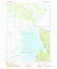
1988 Map of Military Crossing
USGS Topo · Published 1988About this map
The expansive Klamath Marsh dominates this portion of the upper Klamath Basin, as it appeared in the late 1980s. This hydrologically complex landscape is defined by the Williamson River and the sprawling Klamath Forest National Wildlife Refuge, which provides critical habitat for migratory birds. The terrain transitions from the water-saturated lowlands to the elevated eastern slopes of Wildhorse Ridge within the Winema National Forest. Local industrial and settlement history is marked by the presence of Lamm Camp and a Quarry, while the legacy of early transport is preserved in the path of the Old RR Gr at the base of the ridge. Water sources are frequent throughout the region, with numerous named features such as Big Springs, Windmill Point, and Rocky Point serving as vital landmarks for those navigating the peninsula and marsh edge.
Find a feature on this map
20 named features on this map. Tap any name to fly to it.
Don’t see what you’re looking for? This feature index may not catch every label — zoom into the map to look around manually.
Map Details
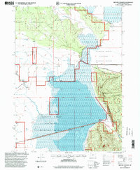
Editions of this 1988 Military Crossing Map
2 editions found
Other maps of this area

1889 · Klamath
USGS Topo · 1:250,000

1894 · Klamath
USGS Topo · 1:250,000

1935 · Chemult
USGS Topo · 1:96,000

1941 · Chemult
USGS Topo · 1:125,000

1955 · Crescent
USGS Topo · 1:250,000

1955 · Klamath Falls
USGS Topo · 1:250,000

1957 · Crescent
USGS Topo · 1:250,000

1957 · Klamath Marsh
USGS Topo · 1:62,500

1957 · Lenz
USGS Topo · 1:62,500

1958 · Crescent
USGS Topo · 1:250,000