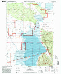
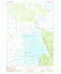
1988 Map of Military Crossing
USGS Topo · Published 2000About this map
Klamath Marsh National Wildlife Refuge dominates this section of the Oregon high country, where the vast wetlands and shallow waters of Silver Lake create a distinct ecological island. In the late 1980s and 1990s, when these revisions were compiled, the landscape remained defined by the intersection of water and historic transit. The Military Crossing Road and Silver Lake Road traverse the marshy terrain, hinting at the historical routes established for movement across this often-inundated basin. To the east, the rising timberline of the Winema National Forest meets the marsh edge at landmarks like Rocky Point. Numerous hydrologic features including Big Springs, various Flowing Wells, and the Williamson River illustrate the complex water table of the Klamath Basin, while prominent landforms like The Peninsula and Windmill Point provide topographic relief against the expansive marshlands.
Find a feature on this map
20 named features on this map. Tap any name to fly to it.
Don’t see what you’re looking for? This feature index may not catch every label — zoom into the map to look around manually.
Map Details
Editions of this 1988 Military Crossing Map
2 editions found
Other maps of this area

1889 · Klamath
USGS Topo · 1:250,000

1894 · Klamath
USGS Topo · 1:250,000

1935 · Chemult
USGS Topo · 1:96,000

1941 · Chemult
USGS Topo · 1:125,000

1955 · Crescent
USGS Topo · 1:250,000

1955 · Klamath Falls
USGS Topo · 1:250,000

1957 · Crescent
USGS Topo · 1:250,000

1957 · Klamath Marsh
USGS Topo · 1:62,500

1957 · Lenz
USGS Topo · 1:62,500

1958 · Crescent
USGS Topo · 1:250,000