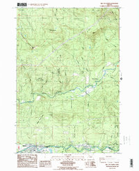
1985 Map of Mill City North
USGS Topo · Published 1985About this map
Mill City and Gates anchor the southern edge of this landscape, situated along the corridor defined by the Little North Santiam River. In the mid-1980s, this region of the Santiam State Forest served as a significant recreational and timber hub, evidenced by the numerous specialized sites such as the Elkhorn Valley Recreation Site, Bear Creek Park, and Canyon Creek Recreation Site. The river valley, particularly within the Elkhorn Valley, shows a clear pattern of settlement and utility, with the Marion Co Linn Co boundary following the river's path. Further north, the terrain becomes increasingly steep toward Lookout Mtn and Sweet Spring Mtn, drained by a network of tributaries including Big Sinker Creek and Fawn Creek. Small-scale industrial activity is noted through various Borrow Pits and a Quarry situated among the timberlands.
Find a feature on this map
40 named features on this map. Tap any name to fly to it.
Don’t see what you’re looking for? This feature index may not catch every label — zoom into the map to look around manually.
Map Details
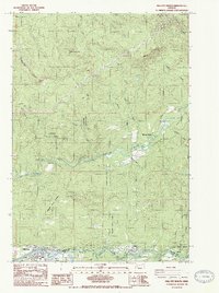
Editions of this 1985 Mill City North Map
2 editions found
Other maps of this area

1929 · Mill City
USGS Topo · 1:125,000

1951 · Lyons
USGS Topo · 1:62,500

1951 · Snow Peak
USGS Topo · 1:62,500

1953 · Salem
USGS Topo · 1:250,000

1954 · Salem
USGS Topo · 1:250,000

1955 · Mill City
USGS Topo · 1:62,500

1956 · Quartzville
USGS Topo · 1:62,500

1960 · Salem
USGS Topo · 1:250,000

1962 · Salem
USGS Topo · 1:250,000

1963 · Salem
USGS Topo · 1:250,000