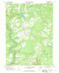
1967 Map of Mill Run
USGS Topo · Published 1970About this map
Normalville and Mill Run center this late-1960s survey of the western slopes of Laurel Hill. The landscape is defined by the deep winding gorge of the Youghiogheny River and a network of mountain streams including Indian Creek and Mill Run. The transportation corridor of the Baltimore and Ohio and Western Maryland railroads follows the river’s curves, highlighting the industrial connectivity of the era.
Find a feature on this map
59 named features on this map. Tap any name to fly to it.
Don’t see what you’re looking for? This feature index may not catch every label — zoom into the map to look around manually.
Map Details
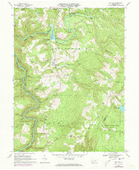
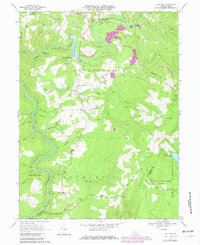
Editions of this 1967 Mill Run Map
Other maps of this area

1900 · Uniontown
USGS Topo · 1:62,500

1902 · Connellsville
USGS Topo · 1:62,500

1922 · Confluence
USGS Topo · 1:62,500

1922 · Donegal
USGS Topo · 1:62,500

1931 · Connellsville
USGS Topo · 1:62,500

1931 · Uniontown
USGS Topo · 1:62,500

1931 · Confluence
USGS Topo · 1:62,500

1933 · Confluence
USGS Topo · 1:62,500

1935 · Donegal
USGS Topo · 1:62,500

1936 · Connellsville
USGS Topo · 1:62,500
Featured Places
- Springfield Township, PA
- Lower Turkeyfoot Township, PA
- Dunbar Township, PA
- Stewart Township, PA
- Rogers Mill, Springfield Township