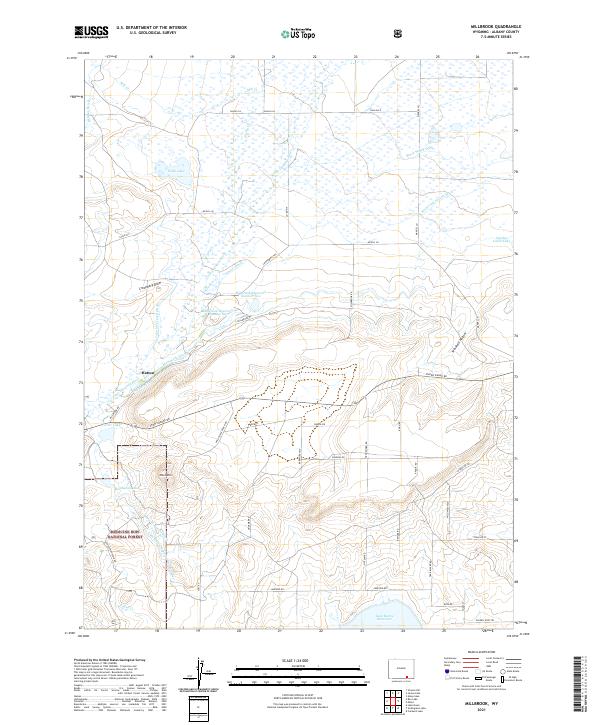
2021 Map of Millbrook
USGS Topo · Published 2021About this map
Hatton stands at the heart of this landscape in Albany County, where the high plains of Wyoming meet the foothills of the Medicine Bow National Forest. The map reveals a complex network of water management essential to the high-desert livestock economy, featuring extensive irrigation works like the John McCreary Ditch, Mammoth Ditch, and Stewart Canal. These systems draw from the Little Laramie River to fill local storage such as Millbrook Reservoir Number One and the expansive Lake Hattie Reservoir to the south. Land use is deeply tied to ranching heritage, evidenced by a grid of roads with names like Gelding Rd, Stallion St, and Riata Rd. Topographical landmarks including Table Mtn and Croonberg Draw provide a clear view of the natural drainage patterns that have historically dictated settlement and transit in this corner of the Laramie Plains.
Find a feature on this map
58 named features on this map. Tap any name to fly to it.
Don’t see what you’re looking for? This feature index may not catch every label — zoom into the map to look around manually.
Map Details
Editions of this 2021 Millbrook Map
This is the sole edition of this map. No revisions or reprints were ever made.
Other maps of this area

1895 · Laramie
USGS Topo · 1:125,000

1902 · Laramie
USGS Topo · 1:125,000

1905 · Laramie
USGS Topo · 1:125,000

1906 · Medicine Bow
USGS Topo · 1:125,000

1906 · Laramie
USGS Topo · 1:125,000

1908 · Laramie
USGS Topo · 1:125,000

1908 · Medicine Bow
USGS Topo · 1:125,000

1954 · Cheyenne
USGS Topo · 1:250,000

1954 · Rawlins
USGS Topo · 1:250,000

1958 · Rawlins
USGS Topo · 1:250,000