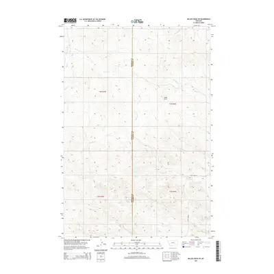
2014 Map of Miller Creek SW
USGS Topo · Published 2014About this map
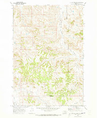
Baldy Butte rises above a complex network of intermittent drainage channels along the boundary between Rosebud Co and Custer County. This drainage system is defined by numerous named creeks that feed the regional watershed, including Sweeney Cr, Beaver Cr, and Sixmile Cr. In the southern reaches, Moon Creek Rd provides a primary point of access near the confluence of N Miller Cr and S Miller Cr. The map's detail on terrain and water features like Graveyard Cr and Cow Cr illustrates the character of this Montana ranchland, where water sources and topographic landmarks were essential for navigating the open range. The drainage patterns shown here reflect the typical hydrology of the southeastern Montana plains, where even seasonal streams such as Hay Cr and Pump Cr define the land's utility and historical grazing boundaries.
Find a feature on this map
16 named features on this map. Tap any name to fly to it.
Don’t see what you’re looking for? This feature index may not catch every label — zoom into the map to look around manually.
Map Details
Editions of this 2014 Miller Creek SW Map
This is the sole edition of this map. No revisions or reprints were ever made.
Other maps of this area

1954 · Hardin
USGS Topo · 1:250,000

1954 · Forsyth
USGS Topo · 1:250,000

1957 · Hardin
USGS Topo · 1:250,000

1957 · Forsyth
USGS Topo · 1:250,000

1958 · Forsyth
USGS Topo · 1:250,000

1958 · Hardin
USGS Topo · 1:250,000
1969 · Moon Creek School
USGS Topo · 1:24,000
1969 · Miller Creek
USGS Topo · 1:24,000
1969 · Miller Creek SW
USGS Topo · 1:24,000
1969 · Miller Creek NW
USGS Topo · 1:24,000