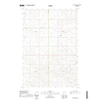
2020 Map of Miller Creek SW
USGS Topo · Published 2020About this map
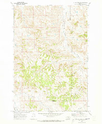
Baldy Butte rises above a highly dissected drainage landscape in this 2020 study of the borderlands between Rosebud and Custer Counties. The region is defined by an intricate network of seasonal watercourses, including Graveyard Cr, Sweeney Cr, and the bifurcated reaches of N Miller Cr and S Miller Cr. These streams carve deep into the plateau, creating a complex topographic grain that dictates the path of local infrastructure like Sweeney Creek Rd and Moon Creek Rd.
Find a feature on this map
18 named features on this map. Tap any name to fly to it.
Don’t see what you’re looking for? This feature index may not catch every label — zoom into the map to look around manually.
Map Details
Editions of this 2020 Miller Creek SW Map
This is the sole edition of this map. No revisions or reprints were ever made.
Other maps of this area

1954 · Hardin
USGS Topo · 1:250,000

1954 · Forsyth
USGS Topo · 1:250,000

1957 · Hardin
USGS Topo · 1:250,000

1957 · Forsyth
USGS Topo · 1:250,000

1958 · Forsyth
USGS Topo · 1:250,000

1958 · Hardin
USGS Topo · 1:250,000
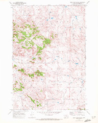
1969 · Moon Creek School
USGS Topo · 1:24,000
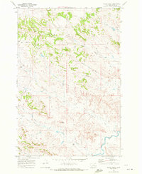
1969 · Miller Creek
USGS Topo · 1:24,000
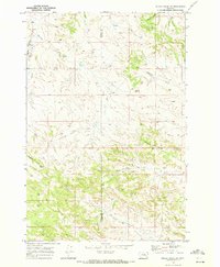
1969 · Miller Creek SW
USGS Topo · 1:24,000
1969 · Miller Creek NW
USGS Topo · 1:24,000