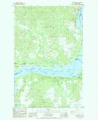
1985 Map of Miller Mtn.
USGS Topo · Published 1985About this map
Colville Indian Reservation and the Spokane Indian Reservation meet along the waters of Franklin D Roosevelt Lake in this mid-1980s topographical study. The landscape is defined by the significant flooded reach of the Columbia River, which created wide inlets like Wilmont Bay and submerged old shorelines. The rugged interior is marked by the prominence of Miller Mtn and the sheer face of The Slide recreation area. This map documents a transitional period of land use where remote canyons such as Corkscrew Canyon and Grant Canyon are navigated primarily by 4wd tracks, connecting scattered points of interest like the Enterprise Camp and an isolated Dredge on the water. Small-scale industrial traces, including several Borrow Pit locations and local Storage Bins, appear alongside natural features like Mitchell Spring, illustrating the intersection of recreation and resource management in Ferry County.
Find a feature on this map
30 named features on this map. Tap any name to fly to it.
Don’t see what you’re looking for? This feature index may not catch every label — zoom into the map to look around manually.
Map Details
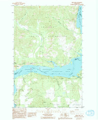
Editions of this 1985 Miller Mtn. Map
2 editions found
Other maps of this area

1948 · Hunters
USGS Topo · 1:62,500

1948 · Wilmont Creek
USGS Topo · 1:62,500

1948 · Lincoln
USGS Topo · 1:62,500

1948 · Turtle Lake
USGS Topo · 1:62,500

1950 · Lincoln
USGS Topo · 1:62,500

1950 · Turtle Lake
USGS Topo · 1:62,500

1950 · Wilmont Creek
USGS Topo · 1:62,500

1950 · Hunters
USGS Topo · 1:62,500

1953 · Ritzville
USGS Topo · 1:250,000

1954 · Okanogan
USGS Topo · 1:250,000