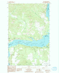
1985 Map of Miller Mtn.
USGS Topo · Published 1994About this map
The Columbia River Franklin D Roosevelt Lake bisects this landscape, separating the Colville Indian Reservation to the north from the Spokane Indian Reservation to the south. This 1980s-era geography shows a terrain defined by steep-walled drainages and technical 4WD trails leading toward Miller Mtn. Along the northern shore, significant geological features like The Slide and Monaghan Canyon reflect the erosive power of the river system before its conversion into a massive reservoir.
Find a feature on this map
31 named features on this map. Tap any name to fly to it.
Don’t see what you’re looking for? This feature index may not catch every label — zoom into the map to look around manually.
Map Details
Editions of this 1985 Miller Mtn. Map
2 editions found
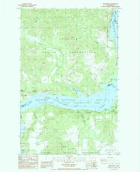
Other maps of this area

1948 · Hunters
USGS Topo · 1:62,500

1948 · Wilmont Creek
USGS Topo · 1:62,500

1948 · Lincoln
USGS Topo · 1:62,500

1948 · Turtle Lake
USGS Topo · 1:62,500

1950 · Lincoln
USGS Topo · 1:62,500

1950 · Turtle Lake
USGS Topo · 1:62,500

1950 · Wilmont Creek
USGS Topo · 1:62,500

1950 · Hunters
USGS Topo · 1:62,500

1953 · Ritzville
USGS Topo · 1:250,000

1954 · Okanogan
USGS Topo · 1:250,000