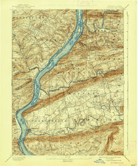
1893 Map of Millersburg
USGS Topo · Published 1922About this map
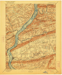
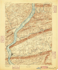
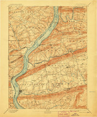
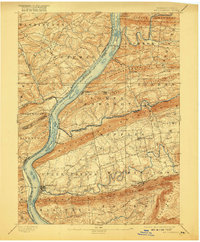
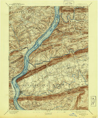
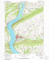
The Susquehanna River dominates this late-nineteenth-century landscape, serving as a primary corridor for both river and rail transport through Dauphin and Northumberland counties. Parallel to the river’s eastern bank, the Pennsylvania Canal and the Northern Central R. R. illustrate the transition from water-based freight to the speed of the iron horse. The topography is defined by the sharp, linear ridges of Berry Mountain and Mahantango Mountain, which constrain the river valley and guide the placement of settlements. Millersburg and Elizabethville emerge as significant hubs within this terrain, while smaller communities like McKee Half Falls and Port Trevorton dot the shoreline. To the east, the Summit Branch R. R. carves through the gaps toward Loyalton, linking the agricultural valleys and mining interests of the interior to the main Susquehanna artery.
Find a feature on this map
56 named features on this map. Tap any name to fly to it.
Don’t see what you’re looking for? This feature index may not catch every label — zoom into the map to look around manually.
Map Details
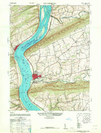
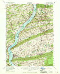
Editions of this 1893 Millersburg Map
7 editions found

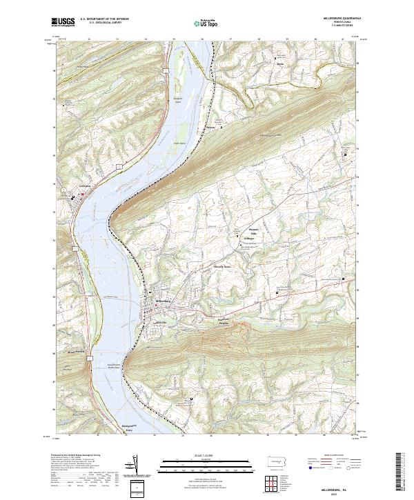
Historical Maps of Chapman Through Time
12 maps found
1893 Millersburg
Dauphin County, PA

1943 Millersburg
Dauphin County, PA
1947 Millersburg
Dauphin County, PA
1953 Millersburg
Dauphin County, PA
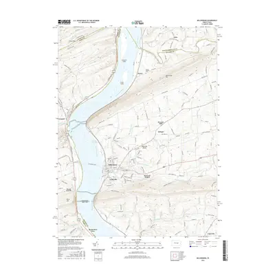
1969 Millersburg
Dauphin County, PA
1977 Millersburg
Dauphin County, PA
1999 Millersburg
Dauphin County, PA
2010 Millersburg
Dauphin County, PA

2013 Millersburg
Dauphin County, PA
2016 Millersburg
Dauphin County, PA
2019 Millersburg
Dauphin County, PA
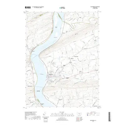
2023 Millersburg
Dauphin County, PA
Featured Locations
- Elizabethville, PA
- Wiconisco Township, PA
- Herndon, PA
- Berrysburg, Mifflin Township
- Chapman, Port Trevorton