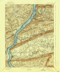
1893 Map of Millersburg
USGS Topo · Published 1938About this map
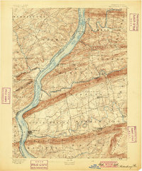
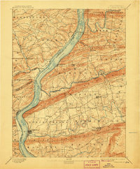
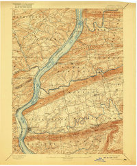
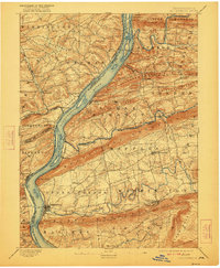
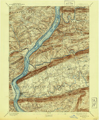
The Susquehanna River dominates this landscape at the end of the nineteenth century, serving as a primary corridor for transportation and settlement between Snyder, Northumberland, and Dauphin counties. The eastern bank is heavily influenced by the industrial infrastructure of the Northern Central RR and the Summit Branch RR, which connected the river towns to the interior coal regions. Parallel to the river, the remnant of the Pennsylvania Canal is visible near McKee Half Falls and Liverpool, tracing a path that predates the rail dominance. The topography is defined by the sharp, linear ridges of Berrys Mountain and Mahantango Mountain, which hem in valleys where farming communities like Elizabethville and Berrysburg are situated. Large river islands such as Hoover Id. and Zeigler Id. underscore the river's dynamic nature before modern controls altered the Susquehanna's traditional flow and navigation patterns.
Find a feature on this map
56 named features on this map. Tap any name to fly to it.
Don’t see what you’re looking for? This feature index may not catch every label — zoom into the map to look around manually.
Map Details
Editions of this 1893 Millersburg Map
7 editions found
Other maps of this area

1892 · Lykens
USGS Topo · 1:62,500

1892 · Hummelstown
USGS Topo · 1:62,500

1892 · Shamokin
USGS Topo · 1:62,500

1892 · Harrisburg
USGS Topo · 1:62,500

1893 · Sunbury
USGS Topo · 1:62,500

1893 · Lykens
USGS Topo · 1:62,500

1893 · Shamokin
USGS Topo · 1:62,500

1893 · Millersburg
USGS Topo · 1:62,500

1899 · Harrisburg
USGS Topo · 1:62,500

1907 · New Bloomfield
USGS Topo · 1:62,500