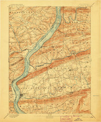
1893 Map of Millersburg
USGS Topo · Published 1907About this map
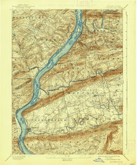
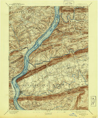
The Susquehanna River dominates this landscape, serving as a corridor for late-19th-century industrial transit where the Pennsylvania Canal parallels the riverbank near McKee Half Falls. This 1891 survey, updated at the turn of the century, reveals the sophisticated transport network of the central Susquehanna valley, featuring the Northern Central R R and the P & R R R connecting river towns to the coal regions. The map illustrates how physical geography dictated settlement, with towns like Millersburg and Elizabethville clustered in the valleys between the prominent parallel ridges of Mahantango Mountain and Berry Mountain. River islands like Zeigler Id. and Hoover Id. are charted in detail, alongside numerous small landings and stations such as Liverpool Sta and Paxton. The intricate drainage of Wiconisco Creek and Mahantango Creek shows the fertile reaches that supported the surrounding agricultural townships.
Find a feature on this map
65 named features on this map. Tap any name to fly to it.
Don’t see what you’re looking for? This feature index may not catch every label — zoom into the map to look around manually.
Map Details
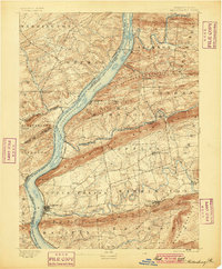
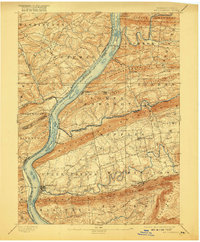
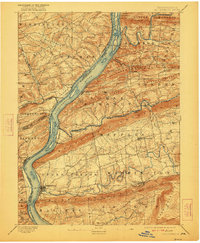
Editions of this 1893 Millersburg Map
7 editions found
Other maps of this area

1892 · Lykens
USGS Topo · 1:62,500

1892 · Hummelstown
USGS Topo · 1:62,500

1892 · Shamokin
USGS Topo · 1:62,500

1892 · Harrisburg
USGS Topo · 1:62,500

1893 · Sunbury
USGS Topo · 1:62,500

1893 · Lykens
USGS Topo · 1:62,500

1893 · Shamokin
USGS Topo · 1:62,500

1893 · Millersburg
USGS Topo · 1:62,500

1899 · Harrisburg
USGS Topo · 1:62,500

1907 · New Bloomfield
USGS Topo · 1:62,500