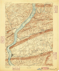
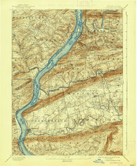
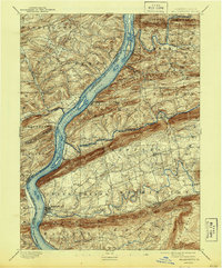
1893 Map of Millersburg
USGS Topo · Published 1899About this map
Millersburg and the winding Susquehanna River anchor this late-nineteenth-century landscape, where the river valley served as a vital corridor for both transport and industry. The presence of the Pennsylvania Canal on the western bank near Liverpool and McKee Half Falls reflects an era of water-borne commerce, even as several rail lines began to dominate the region. The Northern Central RR follows the river's eastern shore, while the Summit Branch RR cuts eastward through the valley towards Elizabethville.
Find a feature on this map
63 named features on this map. Tap any name to fly to it.
Don’t see what you’re looking for? This feature index may not catch every label — zoom into the map to look around manually.
Map Details
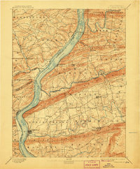
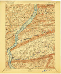
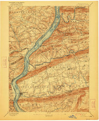
Editions of this 1893 Millersburg Map
7 editions found
Other maps of this area

1892 · Lykens
USGS Topo · 1:62,500

1892 · Hummelstown
USGS Topo · 1:62,500

1892 · Shamokin
USGS Topo · 1:62,500

1892 · Harrisburg
USGS Topo · 1:62,500

1893 · Sunbury
USGS Topo · 1:62,500

1893 · Lykens
USGS Topo · 1:62,500

1893 · Shamokin
USGS Topo · 1:62,500

1893 · Millersburg
USGS Topo · 1:62,500

1899 · Harrisburg
USGS Topo · 1:62,500

1907 · New Bloomfield
USGS Topo · 1:62,500