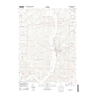
2013 Map of Millersburg
USGS Topo · Published 2013About this map
Millersburg serves as the focal point of this Holmes County landscape, situated where the waters of Honey Run and Sapps Run converge toward the larger Killbuck Creek valley. The map reveals a dense network of township roads connecting scattered rural settlements like Clover Patch and the village of Killbuck to the south. This era shows the established footprint of the Holmes County Airport and the prominent Oak Grove Cem near the town center.
Find a feature on this map
110 named features on this map. Tap any name to fly to it.
Don’t see what you’re looking for? This feature index may not catch every label — zoom into the map to look around manually.
Map Details
Editions of this 2013 Millersburg Map
This is the sole edition of this map. No revisions or reprints were ever made.
Other maps of this area

1912 · Loudonville
USGS Topo · 1:62,500

1913 · Brinkhaven
USGS Topo · 1:62,500

1913 · Coshocton
USGS Topo · 1:62,500

1914 · Loudonville
USGS Topo · 1:62,500

1915 · Brinkhaven
USGS Topo · 1:62,500

1915 · Millersburg
USGS Topo · 1:62,500

1915 · Coshocton
USGS Topo · 1:62,500

1943 · Millersburg
USGS Topo · 1:62,500

1943 · Coshocton
USGS Topo · 1:62,500

1943 · Loudonville
USGS Topo · 1:62,500