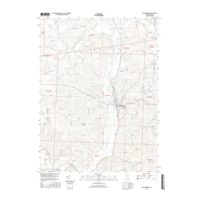
2016 Map of Millersburg
USGS Topo · Published 2016About this map
Millersburg serves as the focal point of this Holmes County survey, situated along the broad valley of Killbuck Creek. The landscape is defined by the winding creek and its many tributaries, including Honey Run and Sand Run, which carve through the prominent local terrain such as Sand Run Hill. This geography dictated the placement of early infrastructure, from the small settlement of Killbuck in the south to the Holmes County Airport positioned on the higher ground of the central plateau.
Find a feature on this map
120 named features on this map. Tap any name to fly to it.
Don’t see what you’re looking for? This feature index may not catch every label — zoom into the map to look around manually.
Map Details
Editions of this 2016 Millersburg Map
This is the sole edition of this map. No revisions or reprints were ever made.
Other maps of this area

1912 · Loudonville
USGS Topo · 1:62,500

1913 · Brinkhaven
USGS Topo · 1:62,500

1913 · Coshocton
USGS Topo · 1:62,500

1914 · Loudonville
USGS Topo · 1:62,500

1915 · Brinkhaven
USGS Topo · 1:62,500

1915 · Millersburg
USGS Topo · 1:62,500

1915 · Coshocton
USGS Topo · 1:62,500

1943 · Millersburg
USGS Topo · 1:62,500

1943 · Coshocton
USGS Topo · 1:62,500

1943 · Loudonville
USGS Topo · 1:62,500