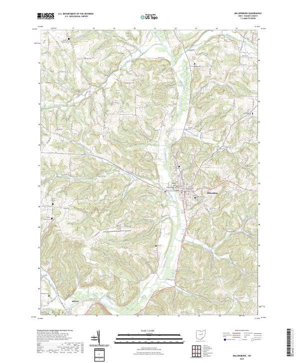
2023 Map of Millersburg
USGS Topo · Published 2023About this map
Millersburg serves as the focal point of this Holmes County study, centered on the Holmes County Courthouse and the surrounding street grid including S Clay St and E Jackson St. The topography is defined by the significant valley of Killbuck Creek, which is fed by numerous tributaries such as Paint Creek, Bear Run, and Sapps Run. This drainage network carved the prominent high ground overlooking the village, including Stokers Hill, Dows Hill, and Jones Ridge. To the south, the village of Killbuck sits near the confluence of Shrimplin Creek and Black Creek. The rural landscape is dotted with ancestral markers for genealogists, from Oak Grove Cem near the county seat to the outlying Monroe Lutheran Cem and Gorrell Cem. The presence of the Holmes County Airport on the plateau between Uhl Run and Hardy Run illustrates the modern infrastructure integrated into this deeply dissected terrain.
Find a feature on this map
126 named features on this map. Tap any name to fly to it.
Don’t see what you’re looking for? This feature index may not catch every label — zoom into the map to look around manually.
Map Details
Editions of this 2023 Millersburg Map
This is the sole edition of this map. No revisions or reprints were ever made.
Other maps of this area

1912 · Loudonville
USGS Topo · 1:62,500

1913 · Brinkhaven
USGS Topo · 1:62,500

1913 · Coshocton
USGS Topo · 1:62,500

1914 · Loudonville
USGS Topo · 1:62,500

1915 · Brinkhaven
USGS Topo · 1:62,500

1915 · Millersburg
USGS Topo · 1:62,500

1915 · Coshocton
USGS Topo · 1:62,500

1943 · Millersburg
USGS Topo · 1:62,500

1943 · Coshocton
USGS Topo · 1:62,500

1943 · Loudonville
USGS Topo · 1:62,500