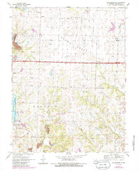
1969 Map of Millersburg NE
USGS Topo · Published 1986About this map
Mark Twain National Forest dominates the southern landscape of this Callaway County region, where the wooded ridges descend toward the Middle River. To the west, the Little Dixie State Wildlife Management Area frames Little Dixie Lake, featuring a Fish Hatchery and Picnic Area that highlight the mid-century development of local recreation. The settlement pattern reflects a deeply rooted rural community, anchored by numerous country churches such as Rising Sun Ch near Hereford and New Richland Ch to the east. The northern reaches across Grand Prairie show a transition to more open terrain, while the western edge reveals the industrial footprint of Strip Mines. From the established village of Millersburg to the remote Callaway R 1 Sch, the map documents a territory defined by its conservation areas and agricultural heritage.
Find a feature on this map
32 named features on this map. Tap any name to fly to it.
Don’t see what you’re looking for? This feature index may not catch every label — zoom into the map to look around manually.
Map Details
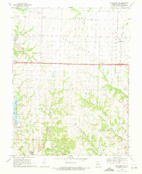
Editions of this 1969 Millersburg NE Map
2 editions found
Other maps of this area

1886 · Jefferson City
USGS Topo · 1:125,000

1890 · Mexico
USGS Topo · 1:125,000

1890 · Moberly
USGS Topo · 1:125,000

1890 · Fulton
USGS Topo · 1:125,000

1894 · Jefferson City
USGS Topo · 1:125,000

1928 · Fulton
USGS Topo · 1:62,500

1931 · Fulton
USGS Topo · 1:62,500

1932 · Mexico
USGS Topo · 1:62,500

1944 · Millersburg
USGS Topo · 1:62,500

1945 · Centralia
USGS Topo · 1:62,500