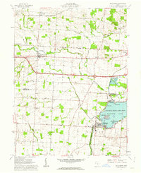
1961 Map of Millersport
USGS Topo · Published 1962About this map
Buckeye Lake and its intricate shoreline dominate the southeastern portion of this 1961 survey, revealing a landscape shaped by early nineteenth-century engineering. The remnants of the Ohio Canal (Aband) are clearly visible, including the Reservoir Feeder that once supplied the canal system. The town of Millersport sits at the water's edge, surrounded by island landmarks like Castle Island and Liebs Island within Buckeye State Lake Park.
Find a feature on this map
40 named features on this map. Tap any name to fly to it.
Don’t see what you’re looking for? This feature index may not catch every label — zoom into the map to look around manually.
Map Details
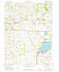
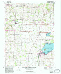
Editions of this 1961 Millersport Map
3 editions found
Other maps of this area

1907 · Thurston
USGS Topo · 1:62,500

1908 · Granville
USGS Topo · 1:62,500

1909 · Newark
USGS Topo · 1:62,500

1909 · Thornville
USGS Topo · 1:62,500

1909 · Thurston
USGS Topo · 1:62,500

1910 · Granville
USGS Topo · 1:62,500

1947 · Columbus
USGS Topo · 1:250,000

1950 · Marion
USGS Topo · 1:250,000

1958 · Carroll
USGS Topo · 1:24,000
1958 · Pataskala
USGS Topo · 1:24,000