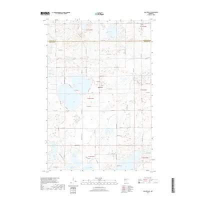
2019 Map of Millerville
USGS Topo · Published 2019About this map
The unincorporated community of Millerville serves as the focal point of this glaciated landscape in Douglas County. The village is anchored by religious and civic landmarks including the Sacred Heart Catholic Church and the adjacent Millerville Cem, while Trinity Cem lies to the northwest. This region is defined by its high density of kettle lakes and wetlands, connected by an intricate system of water management infrastructure like County Ditch Number Sixty and County Ditch Number Fourteen.
Find a feature on this map
76 named features on this map. Tap any name to fly to it.
Don’t see what you’re looking for? This feature index may not catch every label — zoom into the map to look around manually.
Map Details
Editions of this 2019 Millerville Map
This is the sole edition of this map. No revisions or reprints were ever made.
Other maps of this area

1953 · Brainerd
USGS Topo · 1:250,000

1953 · Saint Cloud
USGS Topo · 1:250,000

1957 · Brainerd
USGS Topo · 1:250,000

1957 · Saint Cloud
USGS Topo · 1:250,000

1958 · Saint Cloud
USGS Topo · 1:250,000

1958 · Brainerd
USGS Topo · 1:250,000

1965 · Brainerd
USGS Topo · 1:250,000

1966 · Brandon
USGS Topo · 1:24,000

1966 · Alexandria West
USGS Topo · 1:24,000

1966 · Quam Lake
USGS Topo · 1:24,000