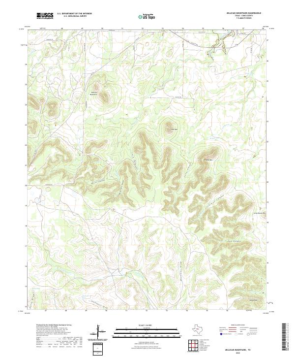
2022 Map of Millican Mountains
USGS Topo · Published 2022About this map
Millican Mountains and the surrounding high-plateau breaks of Coke County define this landscape of deep canyons and seasonal drainage draws. The terrain is deeply incised by Lock Canyon, Long Canyon, and Sterman Canyon, which feed into the intricate network of the Wildcat Creek system. This area represents the arid ranching country of West Texas, where water management is visible through features like Oscar Tank and Wildcat Tank, essential for livestock in a territory dominated by ephemeral flows such as Jack Miles Cr and Shoonover Draw. Isolated peaks like Lone Mtn and Wildcat Mtn serve as primary landmarks across the scrub-covered ridges, while Stone Point marks a prominent overlook in the southeastern portion of the quadrangle.
Find a feature on this map
34 named features on this map. Tap any name to fly to it.
Don’t see what you’re looking for? This feature index may not catch every label — zoom into the map to look around manually.
Map Details
Editions of this 2022 Millican Mountains Map
This is the sole edition of this map. No revisions or reprints were ever made.
Other maps of this area

1891 · Hayrick
USGS Topo · 1:125,000

1894 · Hayrick
USGS Topo · 1:125,000

1954 · San Angelo
USGS Topo · 1:250,000

1957 · Carlsbad
USGS Topo · 1:62,500

1957 · Harriet
USGS Topo · 1:62,500

1958 · San Angelo
USGS Topo · 1:250,000

1962 · Edith
USGS Topo · 1:24,000
1962 · Cement Mountain
USGS Topo · 1:24,000
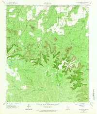
1962 · Millican Mountains
USGS Topo · 1:24,000

1962 · Green Mountain
USGS Topo · 1:24,000