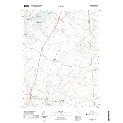
2019 Map of Millington
USGS Topo · Published 2019About this map
The Sassafras River and its intricate tributaries like Mill Creek and Swantown Creek define the upper reaches of the Delmarva Peninsula in this 2019 survey. The map details the rural landscape surrounding Millington, a town situated where the Chester River forms the boundary between Kent and Queen Anne's counties. Further north, the settlement of Galena serves as a crossroads, while aviation history is marked by the presence of Schlosser Airport and the Massey Aerodrome near the village of Massey.
Find a feature on this map
98 named features on this map. Tap any name to fly to it.
Don’t see what you’re looking for? This feature index may not catch every label — zoom into the map to look around manually.
Map Details
Editions of this 2019 Millington Map
This is the sole edition of this map. No revisions or reprints were ever made.
Other maps of this area

1899 · Dover
USGS Topo · 1:125,000

1900 · Cecilton
USGS Topo · 1:62,500

1905 · Barclay
USGS Topo · 1:62,500

1906 · Dover
USGS Topo · 1:125,000

1920 · Dover
USGS Topo · 1:125,000

1926 · Wyoming
USGS Topo · 1:48,000

1930 · Wyoming
USGS Topo · 1:62,500

1931 · Wyoming
USGS Topo · 1:62,500

1931 · Smyrna
USGS Topo · 1:62,500
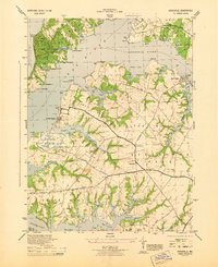
1944 · Earleville
USGS Topo · 1:31,680