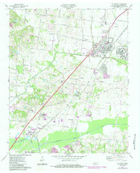
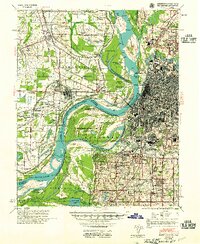
1971 Map of Millington
USGS Topo · Published 1984About this map
US Naval Air Station anchors the eastern portion of this landscape, reflecting the military and aviation footprint near Millington during the early 1970s. The area is defined by a transition from the structured infrastructure of the air station and Charles W Baker Airport to the rural expanses of northern Shelby County. The Illinois Central Gulf railroad cuts a diagonal line through the terrain, passing through Woodstock and Lucy, serving as a primary transportation artery for the region.
Find a feature on this map
59 named features on this map. Tap any name to fly to it.
Don’t see what you’re looking for? This feature index may not catch every label — zoom into the map to look around manually.
Map Details
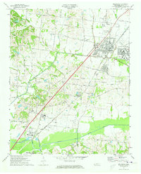
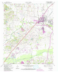
Editions of this 1971 Millington Map
3 editions found
Other maps of this area

1916 · Memphis
USGS Topo · 1:62,500

1925 · Memphis
USGS Topo · 1:48,000

1927 · Memphis
USGS Topo · 1:62,500

1931 · Jericho
USGS Topo · 1:62,500

1939 · Jericho
USGS Topo · 1:62,500
1939 · Memphis
USGS Topo · 1:62,500
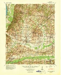
1942 · Millington
USGS Topo · 1:62,500

1952 · Jericho
USGS Topo · 1:62,500

1953 · Memphis
USGS Topo · 1:250,000
1955 · Memphis
USGS Topo · 1:62,500