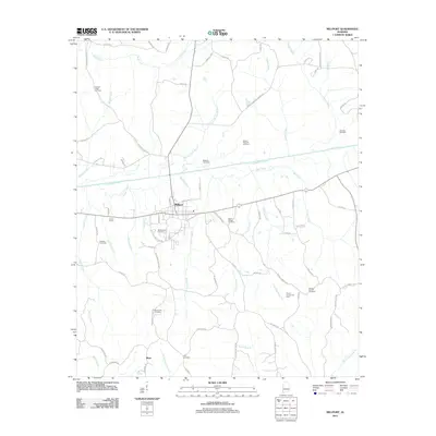
2011 Map of Millport
USGS Topo · Published 2011About this map
Millport serves as the primary hub in this Lamar County landscape, situated where Luxapalila Creek and Driver Creek converge. The town's layout is defined by a traditional grid including James St, Monroe St, and Old Kennedy Rd. Energy extraction is a visible driver of the local economy, evidenced by the Millport Gas Field, Mount Carmel Gas Field, and Kennedy Gas Field distributed across the surrounding hills.
Find a feature on this map
79 named features on this map. Tap any name to fly to it.
Don’t see what you’re looking for? This feature index may not catch every label — zoom into the map to look around manually.
Map Details
Editions of this 2011 Millport Map
This is the sole edition of this map. No revisions or reprints were ever made.
Other maps of this area

1953 · Birmingham
USGS Topo · 1:250,000

1953 · West Point
USGS Topo · 1:250,000

1956 · Birmingham
USGS Topo · 1:250,000

1957 · Birmingham
USGS Topo · 1:250,000

1958 · West Point
USGS Topo · 1:250,000

1963 · West Point
USGS Topo · 1:250,000

1966 · Ethelsville
USGS Topo · 1:24,000

1967 · Hightogy
USGS Topo · 1:24,000

1967 · Kennedy
USGS Topo · 1:24,000

1967 · Millport
USGS Topo · 1:24,000