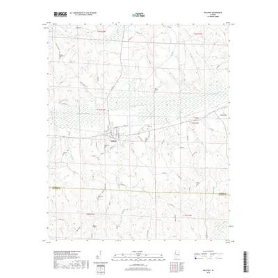
2018 Map of Millport
USGS Topo · Published 2018About this map
Millport serves as the central hub of this West Alabama landscape, situated where the lowlands of Luxapallila Creek meet the surrounding hills. The town's grid is dense with local history, featuring sites like Oddfellows Cem and a cluster of family and community roads including Old Kennedy Rd and Savage St. To the east, the neighboring town of Kennedy marks the edge of the quadrangle, connected by the wetlands and tributaries that feed the main creek system.
Find a feature on this map
87 named features on this map. Tap any name to fly to it.
Don’t see what you’re looking for? This feature index may not catch every label — zoom into the map to look around manually.
Map Details
Editions of this 2018 Millport Map
This is the sole edition of this map. No revisions or reprints were ever made.
Other maps of this area

1953 · Birmingham
USGS Topo · 1:250,000

1953 · West Point
USGS Topo · 1:250,000

1956 · Birmingham
USGS Topo · 1:250,000

1957 · Birmingham
USGS Topo · 1:250,000

1958 · West Point
USGS Topo · 1:250,000

1963 · West Point
USGS Topo · 1:250,000

1966 · Ethelsville
USGS Topo · 1:24,000

1967 · Hightogy
USGS Topo · 1:24,000

1967 · Kennedy
USGS Topo · 1:24,000

1967 · Millport
USGS Topo · 1:24,000