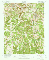
1962 Map of Milltown
USGS Topo · Published 1963About this map
The Blue River carves a winding path through the borderlands of Harrison and Crawford Counties, defining the sharp topography of this 1962 survey. Much of the southern landscape is occupied by the Harrison-Crawford State Forest, where steep ridges like Shafer Ridge and isolated peaks such as Pilot Knob overlook the watershed. The settlement of Milltown sits at a prominent bend in the river, while Marengo occupies the northwest corner, connected by the Southern rail line. The map captures a rural network of ridge-top churches and family-named landmarks, including Goodman Ridge Ch and Thompson Chapel. Significant industrial activity is evidenced by a large Quarry and associated Tailings near the river, reflecting the local limestone economy. Numerous small waterways, including the curiously named Whiskey Run, Cider Fork, and Brandywine Fork, drain the upland forest into the main river channel.
Find a feature on this map
45 named features on this map. Tap any name to fly to it.
Don’t see what you’re looking for? This feature index may not catch every label — zoom into the map to look around manually.
Map Details
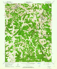
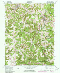
Editions of this 1962 Milltown Map
3 editions found
Other maps of this area

1931 · Corydon
USGS Topo · 1:62,500

1944 · Corydon West
USGS Topo · 1:24,000

1946 · Leavenworth
USGS Topo · 1:24,000

1946 · Depauw
USGS Topo · 1:24,000

1947 · Leavenworth
USGS Topo · 1:24,000

1947 · Corydon West
USGS Topo · 1:24,000

1947 · Hardinsburg
USGS Topo · 1:24,000

1948 · Milltown
USGS Topo · 1:24,000

1949 · Hardinsburg
USGS Topo · 1:24,000

1950 · Beechwood
USGS Topo · 1:24,000