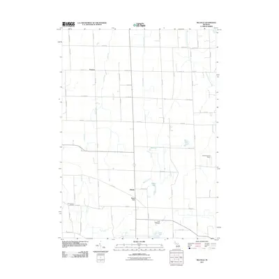
2011 Map of Millville
USGS Topo · Published 2011About this map
Millville and White Oak anchor the central portion of this landscape, situated at the intersection of several primary local thoroughfares. The terrain is defined by a dense network of watercourses, including the Kalamink Creek and Dietz Creek, which suggest a heritage of agricultural drainage and wetland management. Further north, the settlement of Vantown stands along the road network, illustrating the traditional rural spacing of hamlets in this part of Michigan. The presence of Lowe Lake, Burden Lake, and Mud Lake indicates a glaciated landscape common to the region, providing a mix of marshy lowland and open water that has shaped local property lines and road placements. This documentation provides a clear view of the rural infrastructure as it existed in the early 21st century, prior to more recent suburban expansions.
Find a feature on this map
3 named features on this map. Tap any name to fly to it.
Don’t see what you’re looking for? This feature index may not catch every label — zoom into the map to look around manually.
Map Details
Editions of this 2011 Millville Map
This is the sole edition of this map. No revisions or reprints were ever made.
Other maps of this area

1908 · Fowlerville
USGS Topo · 1:62,500

1909 · Mason
USGS Topo · 1:62,500

1910 · Fowlerville
USGS Topo · 1:62,500

1911 · Mason
USGS Topo · 1:62,500

1919 · Stockbridge
USGS Topo · 1:62,500

1919 · Rives Junction
USGS Topo · 1:62,500

1921 · Rives Junction
USGS Topo · 1:62,500

1922 · Stockbridge
USGS Topo · 1:62,500

1942 · Stockbridge
USGS Topo · 1:62,500

1958 · Grand Rapids
USGS Topo · 1:250,000