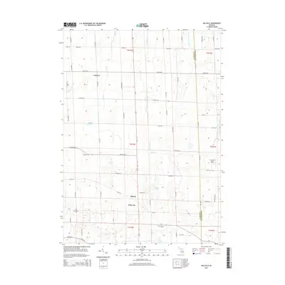
2014 Map of Millville
USGS Topo · Published 2014About this map
The Ingham and Livingston county line bisects this agricultural landscape, where the headwaters of the West Branch Red Cedar River and numerous small creeks drain the central Michigan interior. Small settlements like Millville and Vantown serve as historical anchors within a grid of country roads, while White Oak sits near the southern boundary. The terrain is marked by pockets of wetlands and small water bodies including Mud Lake, Burden Lake, and Lowe Lake. Local history is preserved at the Mt Pleasant Cem and N Stockbridge Cem, providing valuable points of reference for genealogists. The presence of the Cloud Nine West Airport adds a modern aviation element to this otherwise traditional rural landscape of sprawling farm plots and meandering drainage systems like the Marshall and Wilcox Drain.
Find a feature on this map
71 named features on this map. Tap any name to fly to it.
Don’t see what you’re looking for? This feature index may not catch every label — zoom into the map to look around manually.
Map Details
Editions of this 2014 Millville Map
This is the sole edition of this map. No revisions or reprints were ever made.
Other maps of this area

1908 · Fowlerville
USGS Topo · 1:62,500

1909 · Mason
USGS Topo · 1:62,500

1910 · Fowlerville
USGS Topo · 1:62,500

1911 · Mason
USGS Topo · 1:62,500

1919 · Stockbridge
USGS Topo · 1:62,500

1919 · Rives Junction
USGS Topo · 1:62,500

1921 · Rives Junction
USGS Topo · 1:62,500

1922 · Stockbridge
USGS Topo · 1:62,500

1942 · Stockbridge
USGS Topo · 1:62,500

1958 · Grand Rapids
USGS Topo · 1:250,000