2023 Map of Millville
USGS Topo · Published 2023About this map
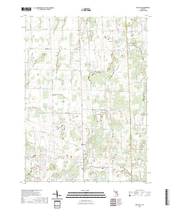
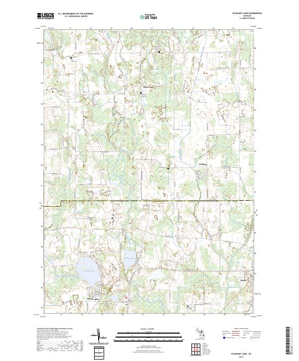
Millville and Vantown serve as the primary hubs in this section of Ingham and Livingston counties, where a network of agricultural roads and waterways defines the local geography. The landscape is characterized by a high concentration of water bodies and drainage systems, including Kalamink Creek, Dietz Creek, and the West Branch Red Cedar River. Numerous lakes such as Mud Lake, Burden Lake, and Lowe Lake are scattered across the terrain, suggesting a low-lying area with significant glacial legacy.
Find a feature on this map
69 named features on this map. Tap any name to fly to it.
Don’t see what you’re looking for? This feature index may not catch every label — zoom into the map to look around manually.
Map Details
Editions of this 2023 Millville Map
This is the sole edition of this map. No revisions or reprints were ever made.
Historical Maps of Unadilla Township Through Time
10 maps found

1965 Aurelius
Ingham County, MI
1965 Lansing South
Ingham County, MI
1970 Pleasant Lake
Ingham County, MI
1973 Millville
Ingham County, MI
1981 Onondaga
Ingham County, MI
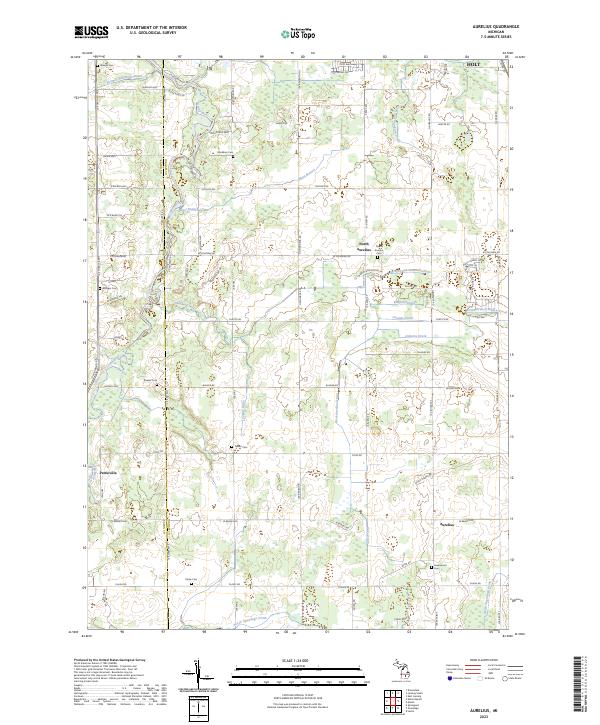
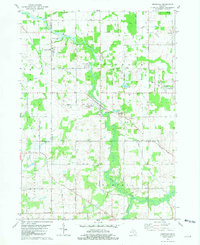
2023 Aurelius
Ingham County, MI
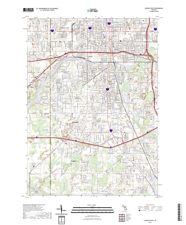
2023 Lansing South
Ingham County, MI
2023 Millville
Ingham County, MI
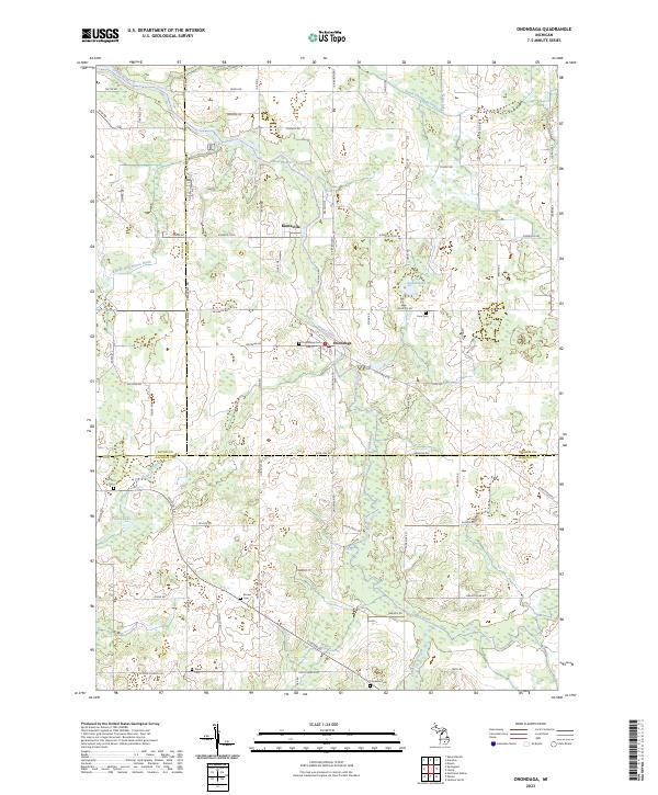
2023 Onondaga
Ingham County, MI
2023 Pleasant Lake
Ingham County, MI