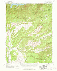
1953 Map of Millville
USGS Topo · Published 1970About this map
Millville and the expansive Millville Plains anchor this mid-century look at eastern Shasta County, where the transition from agriculture to early hydropower and resource extraction is clearly visible. The map details a landscape carved by the Little Cow Creek and South Cow Creek systems, including the complex infrastructure of the Hooten Cow Creek Powerhouse and its associated Cow Creek Forebay and Penstock. Small settlements and rural community centers such as Palo Cedro and Bella Vista serve as focal points for local history, supported by educational landmarks like the North Cow Creek School and the now-abandoned Ellis School. Genealogists will find particular value in the documentation of the Masonic Cemetery and Odd Fellows Cemetery, while remnants of earlier industrial activity are marked by the Coronado Mine and several quarries near Bullskin Ridge.
Find a feature on this map
72 named features on this map. Tap any name to fly to it.
Don’t see what you’re looking for? This feature index may not catch every label — zoom into the map to look around manually.
Map Details
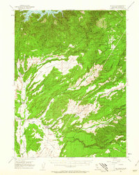
Editions of this 1953 Millville Map
3 editions found

Other maps of this area

1886 · Lassen Peak
USGS Topo · 1:250,000

1890 · Red Bluff
USGS Topo · 1:250,000

1892 · Lassen Peak
USGS Topo · 1:250,000

1894 · Lassen Peak
USGS Topo · 1:250,000

1894 · Red Bluff
USGS Topo · 1:250,000

1901 · Redding
USGS Topo · 1:125,000

1935 · Burney
USGS Topo · 1:96,000

1935 · Paynes Creek
USGS Topo · 1:96,000

1939 · Burney
USGS Topo · 1:125,000

1941 · Mineral
USGS Topo · 1:125,000