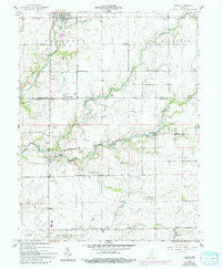
1959 Map of Milroy
USGS Topo · Published 1993About this map
The Flatrock River and its various tributaries, including the Little Flatrock River, carve through this central Indiana landscape, defining the boundaries between Anderson, Richland, and Clinton townships. In the late 1950s, the village of Milroy served as a primary hub for this rural community, situated near the confluence of Lick Creek and the river. Numerous small family and community cemeteries are scattered across the farmland, such as Overtese Cem, Layton Cem, and Butcher Cem, providing a direct link to the region's 19th-century genealogical roots.
Find a feature on this map
31 named features on this map. Tap any name to fly to it.
Don’t see what you’re looking for? This feature index may not catch every label — zoom into the map to look around manually.
Map Details
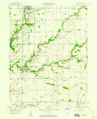
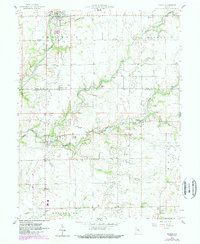
Editions of this 1959 Milroy Map
4 editions found
Other maps of this area

1942 · Columbus
USGS Topo · 1:125,000

1946 · New Point
USGS Topo · 1:24,000

1953 · Cincinnati
USGS Topo · 1:250,000

1957 · Cincinnati
USGS Topo · 1:250,000

1958 · Greensburg
USGS Topo · 1:24,000

1958 · Forest Hill
USGS Topo · 1:24,000

1958 · Clarksburg
USGS Topo · 1:24,000

1959 · Milroy
USGS Topo · 1:24,000

1959 · Rushville
USGS Topo · 1:24,000

1959 · New Salem
USGS Topo · 1:24,000