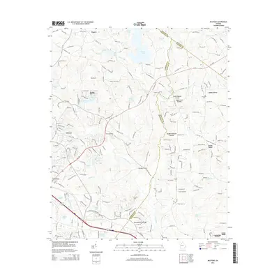
2014 Map of Milstead
USGS Topo · Published 2014About this map
The Yellow River carves a winding path through this portion of Georgia, where the historical industrial settlement of Milstead and rural communities like Zingara define the local geography. Significant water features including Big Haynes Cr and Gum Cr drain into the river system, supporting numerous smaller lakes such as Parkers Lake and Rockdale Lake. The landscape transition from river bottoms to upland ridges is marked by landmarks like Griffin Mtn and the dense Hightower Forest. Genealogists will find interest in several family and community burial grounds, including Almand Cemetery and Gum Creek Cemetery. The infrastructure of the era is evident in crossings like the McDaniel Bridge and the growing residential pockets of Hi Roc Shores and Ashley Grove. Transport corridors such as Ga-138 and the network of historic trails like West Hightower Trail connect these varied settlements across the Rockdale, Newton, and Walton county lines.
Find a feature on this map
201 named features on this map. Tap any name to fly to it.
Don’t see what you’re looking for? This feature index may not catch every label — zoom into the map to look around manually.
Map Details
Editions of this 2014 Milstead Map
This is the sole edition of this map. No revisions or reprints were ever made.
Other maps of this area

1888 · Atlanta
USGS Topo · 1:125,000

1890 · Atlanta
USGS Topo · 1:125,000

1892 · Atlanta
USGS Topo · 1:125,000

1895 · Atlanta
USGS Topo · 1:125,000

1896 · Monroe
USGS Topo · 1:125,000

1953 · Atlanta
USGS Topo · 1:250,000

1953 · Athens
USGS Topo · 1:250,000

1956 · Snellville
USGS Topo · 1:24,000

1956 · Conyers
USGS Topo · 1:24,000

1957 · Atlanta
USGS Topo · 1:250,000