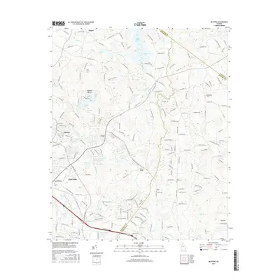
2017 Map of Milstead
USGS Topo · Published 2017About this map
The Yellow River winds through the heart of this landscape, separating the residential developments of Conyers from the more rural reaches of Milstead and Oxford. This modern survey illustrates a region where local industry and recreation are inextricably linked to its hydrology, evidenced by the presence of historical impoundments like Costley Millpond and Dials Millpond. The topography is punctuated by Griffin Mtn and a series of smaller lakes such as Rockdale Lake and Randy Poynter Lake.
Find a feature on this map
191 named features on this map. Tap any name to fly to it.
Don’t see what you’re looking for? This feature index may not catch every label — zoom into the map to look around manually.
Map Details
Editions of this 2017 Milstead Map
This is the sole edition of this map. No revisions or reprints were ever made.
Other maps of this area

1888 · Atlanta
USGS Topo · 1:125,000

1890 · Atlanta
USGS Topo · 1:125,000

1892 · Atlanta
USGS Topo · 1:125,000

1895 · Atlanta
USGS Topo · 1:125,000

1896 · Monroe
USGS Topo · 1:125,000

1953 · Atlanta
USGS Topo · 1:250,000

1953 · Athens
USGS Topo · 1:250,000

1956 · Snellville
USGS Topo · 1:24,000

1956 · Conyers
USGS Topo · 1:24,000

1957 · Atlanta
USGS Topo · 1:250,000