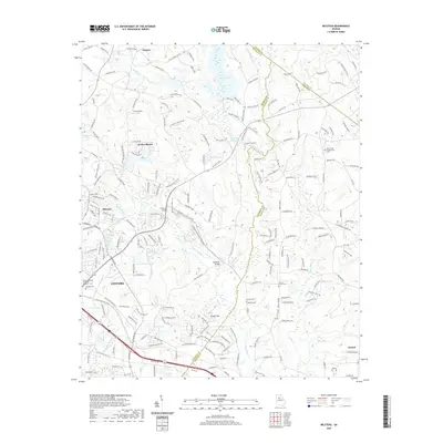
2020 Map of Milstead
USGS Topo · Published 2020About this map
The Yellow River snakes through this Georgia landscape, serving as a primary corridor for the communities of Conyers and Milstead. The terrain is defined by a series of impoundments and small water bodies, including Hi-Roc Lake, Weaver Lake, and Costley Millpond, which reflect the area's transition from early milling sites to modern residential and recreational use. Genealogists will find several burial sites recorded, such as Gum Creek Presbyterian Cem and the Almand Cem.
Find a feature on this map
209 named features on this map. Tap any name to fly to it.
Don’t see what you’re looking for? This feature index may not catch every label — zoom into the map to look around manually.
Map Details
Editions of this 2020 Milstead Map
This is the sole edition of this map. No revisions or reprints were ever made.
Other maps of this area

1888 · Atlanta
USGS Topo · 1:125,000

1890 · Atlanta
USGS Topo · 1:125,000

1892 · Atlanta
USGS Topo · 1:125,000

1895 · Atlanta
USGS Topo · 1:125,000

1896 · Monroe
USGS Topo · 1:125,000

1953 · Atlanta
USGS Topo · 1:250,000

1953 · Athens
USGS Topo · 1:250,000

1956 · Snellville
USGS Topo · 1:24,000

1956 · Conyers
USGS Topo · 1:24,000

1957 · Atlanta
USGS Topo · 1:250,000